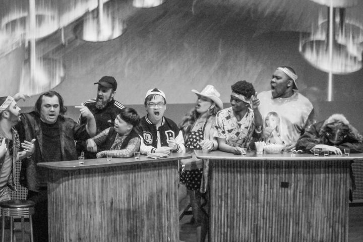
This SFMTA Photo Exhibit Paints a Vivid Image of San Francisco
“Moving San Francisco” showcases how public transportation, and the city it carries, evolved over time.
From the annals of San Francisco, there’s a new, expansive photo exhibit at City Hall displaying the vast history of transit throughout the city.
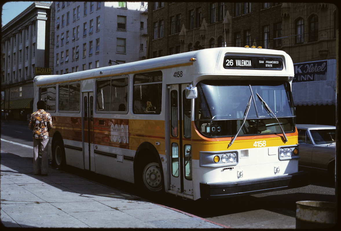
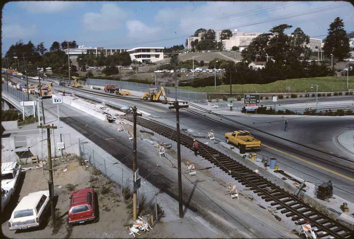
“Moving San Francisco” features photos dating from 1903 to this past year. The photo set isn’t just massive in terms of time frame, but also in what it depicts, with nearly every corner of the city on display. From La Playa and Fulton at the shores of Ocean Beach to what was formerly Candlestick Park, the cache of photos offers an all-encompassing view of the city.
Jackie Im, Director of Galleries for the San Francisco Arts Commission, said the exhibit reflects her experience in the city. Born and raised in San Francisco, Im shared how much of her knowledge of the city is defined by her taking a bus to different neighborhoods.
“I hope this exhibition can convey how San Francisco has been shaped, and how the city shapes transit over time,” Im said.
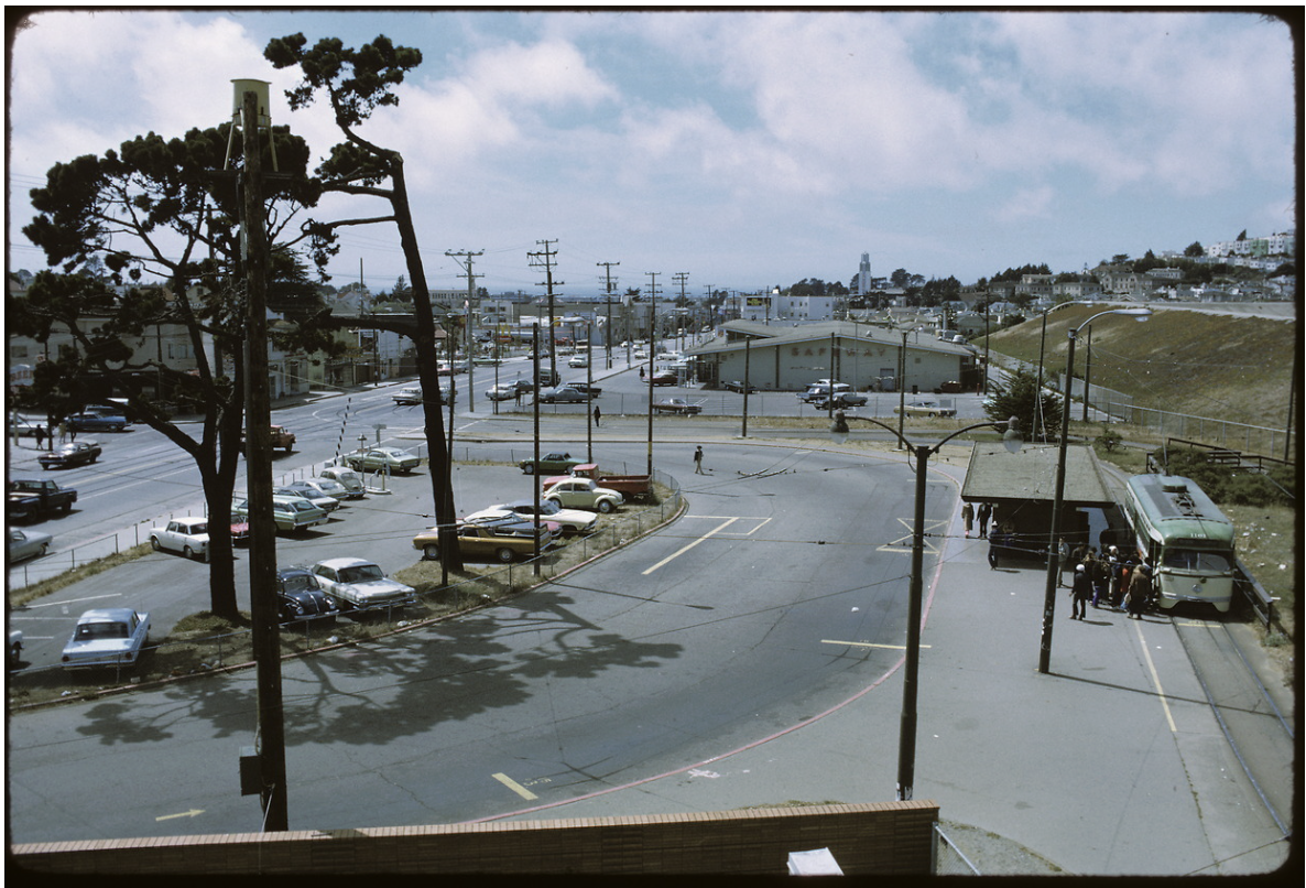
Im and Jeremy Menzies, head of the SFMTA Photo Archive, combed through the over 200,000 photos in the archive in search of ones suitable for the exhibit, eventually whittling it down to around 100.
Menzies explained that they had a hard time narrowing down exactly which kinds of photos to include. The large number of different photos made the selection process challenging, as Menzies expressed: “I can go down a rabbit hole.”
“[We had to] break it down into different eras, or even within an era. We had to find photos that weren’t already represented somewhere else,” Menzies added.
“We also tried to show who makes the system run, who’s using the system,” he said. “Everybody rides transit. If you ride the bus, you see every layer of society.”
Muni was the first publicly owned transit system in North America, established in 1912, nearly 50 years after private transit operations began in the city. Before Muni, streetcar franchises fought, folded and cannibalized one another in the name of profit, not reliable service.
The railway was created to counter these private companies by providing a public service that was not at the whim of the developer who built it, but rather at the whim of the city itself.
In the 114 years since then, Muni has morphed and changed in a multitude of ways, first expanding rapidly from its inception through the end of World War II. The postwar rise of the automobile spelled the end for most of the nation’s streetcar systems, with the ones we are left with in San Francisco only surviving because of their private right-of-ways — infrastructure built specifically for them.
In the aftermath, Muni was left to piece together a jumbled puzzle of streetcar-turned-bus routes that took over 30 years to complete. The system we see today is the result of that cobbling together.
“Moving San Francisco: Views from the SFMTA Photo Archive” runs until June 18, on display on the ground floor of City Hall, in the North Light Court.